MyCOAST
Coordinated Atlantic Coastal Operational Oceanographic Observatory
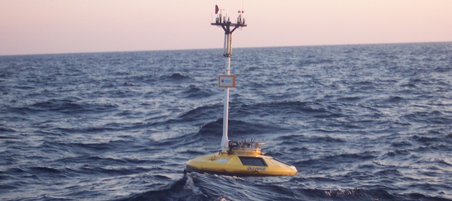
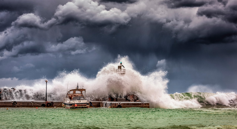
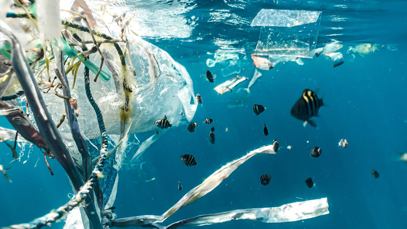
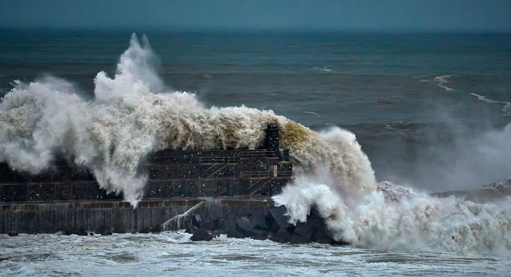
MyCoast will fill the gap between the large scale products and the end-users whilst addressing a transnational handling of the coastal observatories. The resulting synergy will allow deploying and capitalizing innovative and standardized tools in the risk management systems applied mainly to extreme weather events leading to flooding, maritime safety and coastal pollution.
Overall objective:
The aim of MyCoast is to enhance the capability of risk management systems in the Atlantic region by improving co-operation between, observational and forecasting systems, and end users. MyCoast aims to build a coordinated Atlantic Coastal Operational Observatory in the Atlantic area joining capabilities from all the 5 countries and from existing cross-border cooperation activities, all targeted towards the improvement of coastal monitoring and forecasting tools to support threat and emergency response. The technical networking and specific synergies will strengthen the use and the
dissemination of downstream applications of the Copernicus Marine and Environmental Monitoring Service (CMEMS) in order to address the common challenge of resilience of the coastal to risk. The proposed data management tools will promote information sharing and interoperability between coastal observatories and the common European information sharing systems. To ensure effective implementation, the risk management tools will be developed and validated jointly with the key actors involved in managing and preventing coastal risks like flooding and coastal erosion, those in managing water quality issues, and those responsible for managing maritime safety and response to pollution incidents. Finally MyCoast will improve the awareness of these risks in the Atlantic Area, and identify and promote opportunities for the private sector.
| Partners |
The consortium gathers 15 partners from 5 national and 3 regional public institutions, 6 R&D organisations and 1 SME. AZTI (leader), Instituto Español de Oceanografía (IEO), Instituto Tecnolóxico para o Control do Medio Mariño de Galicia (INTECMAR), Foras na Mara (IMI), Universidade de Santiago de Compostela (USC), Service hydrographique et océanographique de la marine (SHOM), Puertos del Estado (PdE), Institut Français de Recherche pour l’Exploitation de la Mer (IFREMER), Dirección de Atención de Emergencias y Meteorología (DAEM), Centre for Environment Fisheries and Aquaculture Science (CEFAS), Instituto Superior Técnico (IST), Plymouth Marine Laboratory (PML), Marine Scotland (MSS), Dirección Xeral de Calidade Ambiental e Cambio Climático (DXCACCMeteoGalicia), Instituto Hidrográfico (IH), Autoridad Portuaria de A Coruña (APAC), Subdirección Xeral de Gardacostas de Galícia. Consellería do Mar, (Guardacostas Galicia), European Global Ocean Observing System (EuroGOOS AISBL), Qualitas Instruments Lda (QUALITAS), Scottish Environment Protection Agency (SEPA), Grand Port Maritime de Bordeaux (GPMB), Câmara Municipal de Lisboa (CML) |
| Funding |
EU, Operational Programme ‘Atlantic Area’ |
| Lenght |
November2017 – July 2020 |
