Satellite oceanography applied to the fishing of pelagic fishery resources
To predict school distribution and reduce fuel consumption and days at sea
AZTI provides fishermen with oceanographic advanced information to determine high-probability fishing areas, based on technology developed in-house (OCEANTIC), for the coastal and offshore fleet, and for the fleet of frozen tuna vessels.
- Search for favourable oceanographic conditions for the presence of pelagic fishery species.
- Training courses in the use of the IT software which relates oceanographic maps and target fishery resources.
- Weekly technical support in oceanography.
- Service Assessment
- Weekly maps with high-probability fishing areas during the service contract period.
- Weekly monitoring via e-mail and regular visits to the base ports.
- Statistical studies relating catches to oceanographic conditions.
Advantages
- Understand and predict the distribution of schools of the target species.
- Reduced fuel consumption and days at sea.
- Increased safety at sea, avoiding adverse ocean-meteorological areas.
Applicable sectors
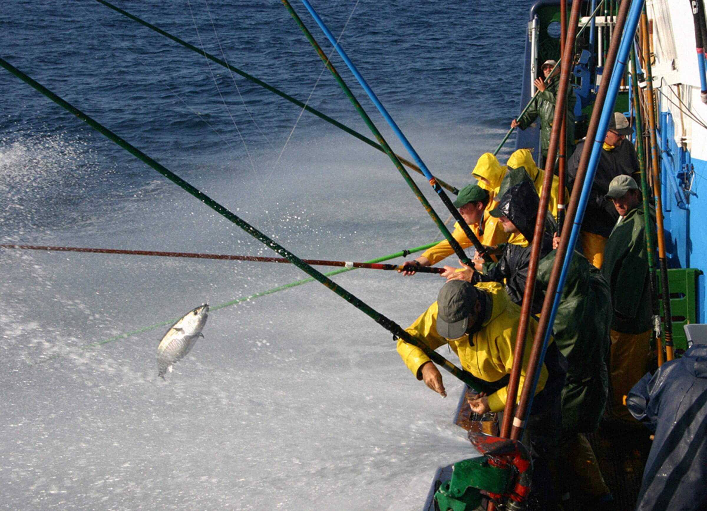
Fishing companies (vessels and offices): freezer tuna seiners, longliners, coastal tuna vessels, pelagic trawlers (horse-mackerel, mackerel, sardine, anchovy, etc.).
Understanding and predicting the distribution of schools of the target species allows fuel consumption and days at sea to be reduced
Implementation
- Installation and handling of software and basic training in the relationship between oceanographic maps and target fishery resources (1 day).
- Joint determination of the fishing area and season and the target species with the skipper/captain (1 day).
- Statistical analysis of the data provided in order to understand the behaviour of the target species and its temporary space distribution in relation to oceanographic conditions (3 months).
Experience
- 20 years’ experience offering oceanographic interpretation for fishing purposes (oceanographic map management software, statistical analysis of the relationship between catches and oceanographic conditions for different oceans).
- Multi-disciplinary work team: biologists, oceanographers, etc.
- Knowledge of the coastal and offshore fisheries sector.
Proven track record
Over a 15 years of map analysis and technical guidance to over 350 vessels in the Pacific, Indian and Atlantic Oceans.
